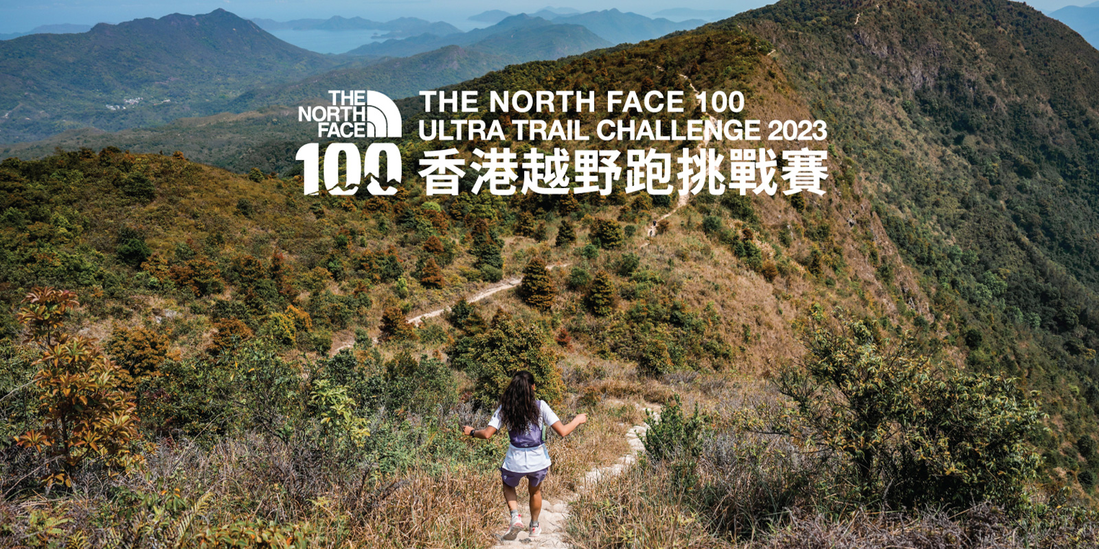
Never Stop Exploring with The North Face
#thenorthfacehk #neverstopexploring #TheNorthFace100 #TNF100HK
[TNF100 Course Route Changes]
*Please note that we are currently awaiting the final approval and confirmation from the relevant government departments.
We apologize for any inconvenience caused and sincerely appreciate your understanding.
Due to ongoing trail maintenance following September's storms, we have had to make the below adjustments.
100 km Route:
The first 4 sections of the course remain unchanged. However, due to a dangerous landslide over the original Section 6 over Lung Shan, it is necessary to reroute Sections 5 and 6. From the top of Pak Tai To Yan on Section 5, the route now follows the Ngau Kwu Leng Trail to Lam Tsuen Wishing Square and then the bicycle path along Tai Po Road to Tai Po Tau where the CP will be set up at the base of Cloudy Hill. This new routing is 12.4 km compared to the original 8.7 km, but is much more runnable after Pak Tai To Yan. The new Section 6 will ascend Cloudy Hill and follow the Wilson Trail as far as the Lau Shui Heung Country Trail split down to Lau Shui Heung Reservoir and onto Hok Tau Reservoir Barbecue Area.The new section is 7.5 km long, but far less rough than Long Shan.
The Nam Chung Country Trail (Section 7) is closed. After completing the Hok Tau Family Walk, racers will need to go back to Wong Leng over Ping Feng Shan (Section 1 in reverse) before heading to Luk Keng (avoiding Pat Sin Leng). The new section is 11.2 km and contains more altitude gain, so we have increased the allowed section time to 3.5 hours.
With the Wu Kau Tang - Bride's Pool Trail also closed, we have had to move and combine the next two checkpoints at the intersection of Bride's Pool Road and Wu Kau Tang Road. There will still be a 14.7 km loop from Luk Keng to this checkpoint, followed by 9 km of mostly contour trails toward the finish line.
Estimated new distance: 100.3 km and +/- 5,350 meters vertical.
50 km Route:
AFCD expressed concerns about crowding out hikers on Ping Feng Shan so the course will now turn from Wong Leng directly to Luk Keng (~11.5 km with a 4-hour cut off time).
The second section goes through the old Northeast New Territory villages of Kuk Po, Yung Shue Au, So Lo Pun, and Lai Chi Wo to finish in Wu Kau Tang Village (~13.7 km with a 4-hour section cut off time).
From this checkpoint the course goes via Lai Tau Shek, Sam A Tsuen, Ha Miu Tin and Ma Tau Feng to rejoin the 100 km route the Wu Kau Tang-Bride’s Pool Intersection CP (~11.5 km with a 4-hour section cut off time).
Finally there is a 9 km mostly contour trails toward the finish line.
Estimated new distance: 46 km and +/- 2,175 meters vertical.
16 km Route:
The direction of the route has been reversed to a counter-clockwise loop. A short section of running is required along Bride's Pool Road to reach the checkpoint at the intersection of Bride's Pool Road and Wu Kau Tang Road (~6.6 km), followed by 9 km of mostly contour trails toward the finish line.
Estimated new distance: 15.6 km and +/- 800 meters vertical.
【TNF100比賽路線更改】
*請留意,我們仍在等待政府相關部門的最終審批和確認,不便之處,敬請見諒。
由於原定比賽路線歷經九月份的暴風雨後,正進行維護工程。因此,我們不得不作出以下路線調整。
100 公里路線:
前四段路線維持不變。但由於原本的的第6賽段位於龍山的山坡有危險斜坡,因此第5賽段和第6賽段的路線將有所調整。由第5賽段北大刀屻山頂開始,新路線將沿著牛牯嶺徑到達林村許願廣場,然後沿著大埔道的單車徑前往九龍坑山。原有的路程為8.7公里,而更改後的路線路程為12.4公里,但比起原有的北大刀屻路線更適合跑手。新的第6賽段將經過九龍坑山,沿著衛奕信徑到流水響郊遊徑的分岔路口,再到達流水響水塘,最後將到達鶴藪水塘燒烤區。新路線路程為7.5公里,比原有崎嶇的龍山路段較為平坦。
南涌郊遊徑(第 7 段)已經關閉,因此,完成鶴藪郊遊徑後,跑手需要返回屏風山至黃嶺(第 1 段反向路段),然後前往鹿頸(避開八仙嶺)。新賽段全長 11.2 公里(比舊賽段長 3 公里),海拔升高較多,因此我們將該賽段的完成時間延長至 3.5 小時。
由於烏蛟騰-新娘潭教育徑已經關閉,我們不得不移動並合併位於新娘潭路和烏蛟騰路交叉口下的兩個檢查站。從鹿頸到此檢查站仍將有一個 14.7 公里的環路,然後以9 公里長的等高線山路為終點。
預計新距離 : 100.3 公里,垂直高度 +/- 5,350 公尺。
50 公里路線:
由於漁農自然護理署 (AFCD) 擔心屏風山的行山人士擠擁的問題,因此路線現將從黃嶺直接到達鹿頸(路程約 11.5 公里,路段截止時間為 4 小時)。
第 2 段路線途經新界東北村落,包括谷埔、榕樹凹、鎖羅盆及荔枝窩,終點為烏蛟騰村(路程約 13.7 公里,路段截止時間為 4 小時)。
從此檢查站出發,路線途徑犁頭石、三椏村、下苗田、馬頭峰,然後到達新娘潭路和烏蛟騰路交叉口下的檢查站(路程約 11.5 公里,路段截止時間為 4 小時)。
最後經過 9 公里長的環形賽道後為終點。
預計新距離 : 46 公里,垂直高度 +/- 2,175 公尺。
16 公里路線:
路線方向改為逆時針環形,需要沿著新娘潭路跑一小段路,才能到達位於新娘潭路與烏蛟騰路交叉口的檢查站(約 6.6 公里),然後以 9 公里長的等高線山路為終點。
預計新距離 : 15.6 公里,垂直距離 +/- 800 公尺。
#thenorthfacehk #neverstopexploring #TheNorthFace100 #TNF100HK #VECTIV #山野樂見不平 #TNFExplorationTruck
For more information, please refer to the official web site:https://www.thenorthface.com.hk/tnf-100/